

Open Access Data Sources
Tethys
Tethys is a database and knowledge management system that provides access to information and research pertaining to the potential environmental effects of marine and hydrokinetic (MHK) and offshore wind development. Developed by Pacific Northwest National Laboratory to support the US Department of Energy. Tethys also hosts data from Annex IV, an international collaboration to gather information on MHK environmental research worldwide
Oceans Network Canada Observatories
NEPTUNE Canada, the world’s largest cabled seafloor observatory, is located off the west coast of Vancouver Island, British Columbia. The network, which extends across the Juan de Fuca plate, gathers live data from a variety of instruments deployed in a broad spectrum of undersea environments. Data are transmitted via high-speed fibre optic communications from the seafloor to an innovative data archival system at the University of Victoria. This system provides free Internet access to an immense wealth of data, both live and archived throughout the life of our planned 25-year project.
Victoria Experimental Network Under the Sea (VENUS) is a cabled seafloor observing system in a coastal ocean connected to researchers and observers on shore by fibre optic cable. The VENUS network is run by the University of Victoria in British Columbia, Canada as part of the Ocean Networks Canada Observatory. Two networks of instruments currently reside on the sea floor, one in Saanich Inlet and a second in the Strait of Georgia. VENUS researchers, students, and the public are connected by Internet from around the world. Measurements, images, and sound are delivered to any ocean explorer through a data management centre on this website. Results are available almost immediately for most instruments. The facility consists of three seafloor nodes on two separate cable arrays, two shore stations, a network operations centre, and a data archive.
NRCan GEOSCAN Database
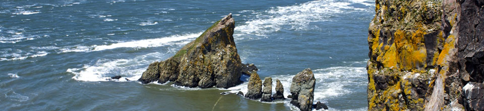
Maps of the seafloor relief of the Bay of Fundy have been released by the Geological Survey of Canada. The maps are based on multibeam sonar surveys performed between 1993 and 2009 to map 13,010 square kilometres of the seafloor.
The maps can be downloaded from the GEOGRATIS website.
There are seventeen 1:50,000 scale maps that constitute coverage of the entire bay. Search GEOGRATIS for "Geological Survey of Canada, A-series" map numbers: 2174A, 2175A, 2176A, 2177A, 2178A, 2179A, 2180A, 2181A, 2182A, 2183A, 2184A, 2185A, 2186A, 2187A, 2188A, 2189A, and 2190A.
The accompanying seventeen backscatter strength maps are also available on GEOGRATIS. These are in the form of Open File reports. Search for "Geological Survey of Canada, Open File" numbers 7008 to 7024.
Multipurpose Marine Cadastre (MMC)
Developed by the U.S. NOAA and BOEMRE, MMC is an integrated marine information system that provides jurisdictional, legal, physical, ecological, and human use data in a common geographic information system (GIS) framework. The MMC was designed specifically to support renewable energy siting on the U.S. Outer Continental Shelf but is also being used for other ocean-related efforts, including coastal and marine spatial planning. The MMC has three primary focus areas: Web map viewers and decision-support tools, a spatial data registry, and technical support and regional capacity building.
Listening to the Deep Ocean Environment (LIDO)
The Applied Bioacoustics Laboratory of the Universitat Politècnica de Catalunya has developed the first system equipped with hydrophones able to record sounds on the seafloor in real time over the Internet. The system, which records underwater noise in different parts of Europe and North America, detects the presence of cetaceans and makes it possible to analyze how noise caused by human activity can affect the natural habitat of these animals and the natural balance of oceans.
Noise sources are detected by hydrophones installed on over 10 underwater observatories. Some of the LIDO sensors have been deployed on the European Seafloor Observatory Network (ESONET). Another set of sensors is installed in the deep sea infrastructures of the ANTARES project. There are another three hydrophones on the seafloor platforms of the NEPTUNE network off British Columbia, Canada.
The acoustic signals and the result of analyses are available to the international scientific community via the internet.